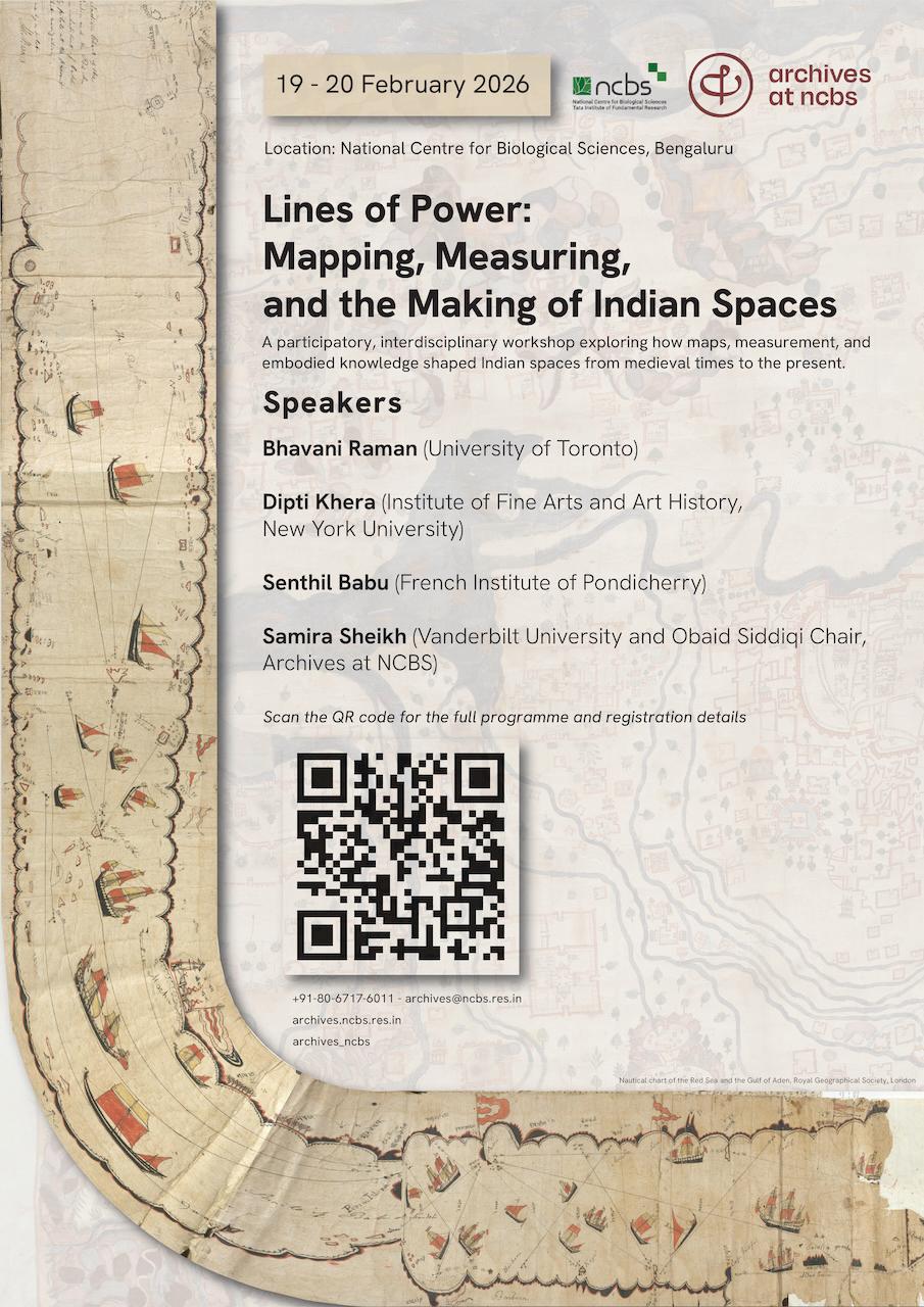
Lines of Power: Mapping, Measuring, and the Making of Indian Spaces
19TH FEBRUARY, THURSDAY
Session 1
9-9:15
Introductions
9:15-11 Samira Sheikh, Vanderbilt University and Obaid Siddiqi Chair, 2025-26, The Archives at NCBS
Samira Sheikh is a historian of South Asia and Associate Professor of History at Vanderbilt University. She is currently the Fifth Obaid Siddiqi Chair at the Archives at NCBS. Her research focuses on early modern and modern western India, with particular attention to Gujarat, riverine and coastal histories, mapping, and the social worlds of trade, labour, and governance. She is the author of Forging a Region: Sultans, Traders, and Pilgrims in Gujarat, 1200–1500 and is currently working on two book projects on mapping and mapmaking in South Asia. Her work combines archival research with spatial and digital methods to rethink how Indian spaces were historically known and made.
A History of the Dotted Line
Broken or punctuated lines are a familiar feature of modern maps, used to distinguish political territories, administrative zones, or uncertain boundaries. Such lines, however, were not a routine feature of precolonial Indian mapping, where linear demarcation was neither the primary mode of spatial description nor the dominant way of asserting authority. In this presentation, I trace how lines in Indian maps carried meanings that were significantly rearticulated under colonial surveying from the early nineteenth century, as measurement, taxation, and territorial became central cartographic concerns.
Focusing on mappings of Gujarat from the 1700s, I show how regimes of orientation grounded in pilgrimage, exchange, and relational spatial knowledge were not simply displaced by colonial survey practices. Instead, survey-based, extractive mappings coexisted with pilgrimage maps and other non-survey forms that continued to encode trade, ritual obligation, and moral geographies. Tracing the history of the line thus allows us to see colonial mapping as transformative but incomplete: a powerful new cartographic regime that reshaped meanings of space without fully extinguishing other ways of mapping the world.
11-11:30 coffee/tea break in Hortus Garden
11:30-12:30 Tour of the Archives at NCBS
12:30-2 Lunch at NCBS Canteen
Session 2
2-3:45 Senthil Babu, French Institute of Pondicherry
Computational Work and the Conquest Within: A Political Metrology of Empire
Images of empires and their histories often invoke territorial conquest. But they are also made of conquests within, digging deeper to extract from their own working people. Such internal conquest worked with an active production of computational work which folded the quantities and qualities of land and its resources to produce spaces which go beyond the cartographic register. How do we then visualize the production of such space? Through our attempt to create a historical atlas of metrology, we share our experiences and learning from reconstructing this space from medieval south Indian inscriptions during the Chola era (ninth to twelfth centuries). Maybe this will persuade us to refocus empires beyond the lens of territorial reorganization through state formation and in the direction of working people and their labour.
6-8 Catered dinner at NCBS for all workshop participants
20TH FEBRUARY, FRIDAY
Session 3
9-10:45 Dipti Khera, New York University
Dipti Khera is a historian of South Asian art and visual culture and Associate Professor at the Institute of Fine Arts, New York University. Her research examines how aesthetic practices, emotions, and sensory experience shaped political, social, and environmental life in early modern India. She is the author of The Place of Many Moods: Udaipur's Painted Lands and India's Eighteenth Century, which explores how paintings mapped landscapes, climate, and power beyond conventional cartographic forms. Khera was also co-curator of the Smithsonian (National Museum of Asian Art) exhibition A Splendid Land: Paintings from Royal Udaipur (2022-23), which brought art history into dialogue with environmental history, geography, and the history of knowledge.
Mapping Practices: Where to See, How to Sense, What to Unfurl?
In charting the aesthetic, epistemic, and political power of the 'moods of a place', eighteenth- and nineteenth-century painters in northwestern India mapped their built and natural environments in new kinds of objects: large paintings up to five feet wide and letter scrolls up to seventy feet long. Yet we rarely view these awe-inspiring sources as effective maps. Monumental monsoons painted at the Udaipur court, for example, visualized territorial claims for patrons while also rendering transformed terrains, seasonal precarity, waterwork technologies, and novel vantages visible. How might we trace the embodied knowledge of their mapmaker-painters, who entangled ecologies and emotions to enhance the efficacy of mapping? What do such painted places reveal about the practices, priorities, and professional skills of mapmakers?
Beyond courtly circles, mercantile collectives seeking to attract powerful monks during the forthcoming monsoon season commissioned painters to map thriving bazaars through extensive visual-textual invitations sent from towns in Gujarat and Rajasthan. These painted streets encode relations among laboring actors across class, caste, gender, devotional affiliation, and colonial order. By juxtaposing these genres, I highlight the stories and silences that constitute the street view in relation to the terrain view. Both offer ways to rethink the trajectories and technologies of colonial mapping — and, in turn, to ask which erased precincts and histories we may unfurl in the present.
10:45-11 coffee/tea break outside Raspuri
Session 4
11-12:45 Bhavani Raman, University of Toronto
Bhavani Raman is a historian of South Asia and Associate Professor in the Department of History at the University of Toronto. Her research examines the social and material histories of law, bureaucracy, and knowledge in colonial South India, with particular attention to documents, archives, and practices of governance. She is the author of Document Raj: Writing and Scribes in Early Colonial South India, which traces how paperwork, scribal labour, and legal documentation shaped the colonial state and everyday life. Her recent work includes a digital humanities project that uses Tamil-language lexicons and fisher knowledge to annotate colonial maps of Madras Presidency, as well as a study of security laws in colonial South Asia.
The Debts of Imperial Hydrography: Small Boats and Littoral Histories
From the 1770s, hydrography or the "writing" of water re-assembled the ocean as a geo-planetary concept, shaping oceanography, law, shipping, and mapping. The hydrographer's ocean collated a dispersed archive of seas that for the most part cohered around the littoral and archipelagic boat movement, nautical tools and scientific instruments from European ships but equally from the arts of navigation practiced by marine specialists, navigators, pilots and fishers. I will situate the hydrography of British geographers like Major James Rennell (d. 1830) and Alexander Darlymple (d. 1808) as a layered archive, focusing on coastal Coromandel maps which were assembled from prior marine surveys to which fisher knowledge was central. I will then try to puzzle out some drawing techniques by juxtaposing these with Madras inland irrigation survey maps to understand how embodied knowledge could have been translated into two-dimensional maps at this time. And I will explain why the recuperation of fishers' historical knowledge of the seas is so important in the present.
12:45-2 lunch
2-3 closing round-table discussion
3-3:30 coffee/tea break in Hortus Garden
5-6:30 Archives Public Lecture: Senthil Babu, French Institute of Pondicherry
Senthil Babu is a historian of mathematics at the French Institute of Pondicherry, where his research focuses on the social history of knowledge, labour, and calculation in South Asia. His work examines vernacular mathematical practices, metrology, and computation as historically embedded forms of social and political life. He coordinates a collaborative research programme on the social history of vernacular mathematics in medieval South India, in partnership with scholars in the history and philosophy of mathematics. He is the author of Mathematics and Society: Numbers and Measures in Early Modern South India, and serves on the editorial board of Verum Factum: Studies in Political Epistemology.
“Between the Concrete and the Abstract: Computational Work in South Indian History”